- calendar_today June 3, 2026
Stormy Weather Sweeps Southwest USA With New Mexico Storms
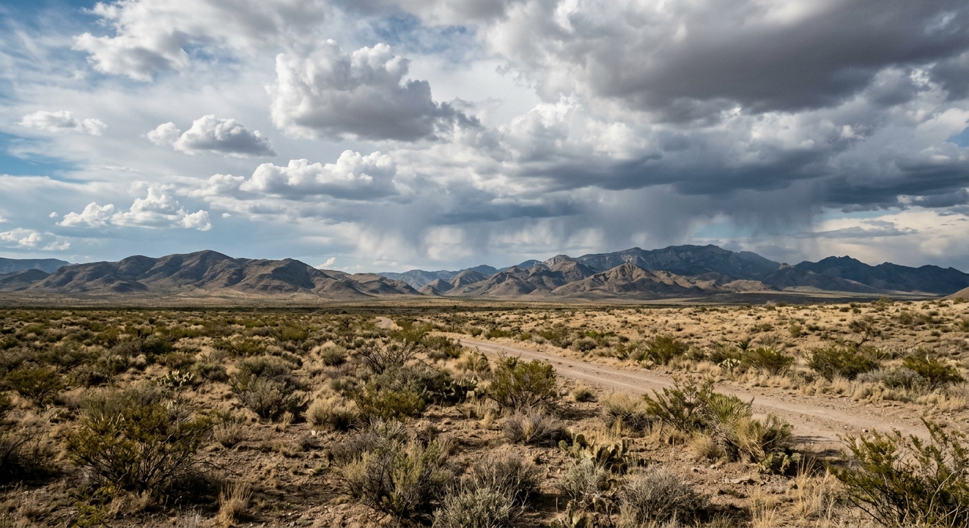
The Southwest USA is facing a surge of active weather as new mexico storms move from east to west, heightening thunderstorm chances and raising concerns over heavy rainfall. Communities spanning from eastern New Mexico to the Arizona border—particularly south of I-40—are on alert for changing conditions that may affect local residents, businesses, and infrastructure.
Thunderstorm Chances Spread from East to West
Throughout the region, meteorologists are monitoring widespread instability caused by a persistent sweep of moisture. This pattern is fueling frequent showers and periodic thunderstorm chances across New Mexico and neighboring areas. Several counties are seeing scattered downpours, with attention focused on locations most vulnerable to storm impacts.
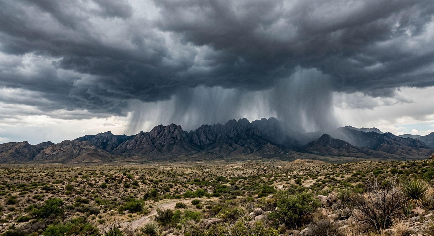
Flash Flooding Risks in Lincoln County Burn Scars
The greatest threat is expected in regions with recent fire history, particularly in Lincoln County, where burn scars increase the risk of flash flooding. The National Weather Service has maintained a flood watch for this area, warning residents about the possibility of quickly rising waters. Surfaces in these burn scar zones are less able to absorb precipitation, making localized floods more likely.
Metro Areas Brace for Moderation
The Albuquerque and Santa Fe metro areas are predicted to see fewer intense storms, though occasional albuquerque showers and santa fe storms are possible. Forecasters caution that even light to moderate precipitation could create travel delays or cause minor disruptions, particularly during commutes or outdoor events.
Weather Forecast for the Coming Days
Current weather forecast models indicate that storm activity will persist into Thursday. Western sections of New Mexico may experience a slight reprieve as drier air begins tapping into the region. However, on Friday and Saturday, rain and stormy weather are expected to slowly shift eastward, largely moving away from central mountain communities but maintaining a footprint east of the mountain chain.
Flood Watch Remains and Safety Measures
Localized flooding may still result from slow-moving or repeated storms, and residents of the Southwest USA, especially those near lincoln county burn scars, are advised to take precautionary steps. The ongoing flood watch underscores the need for readiness should conditions deteriorate unexpectedly. Emergency services throughout the region are prepared to respond as necessary.
Community Resilience and Ongoing Monitoring
While the stormy period increases attention on risk-prone locations, municipalities and county agencies are collaborating to mitigate hazards to homes, roads, and businesses. Public advisories remain in place, emphasizing the unpredictable nature of New Mexico storms and the importance of quick response to flood threats.
Staying Prepared Through Stormy Weather
Officials urge residents and visitors across the Southwest USA to monitor county alerts and national meteorological updates for the latest information. Even with an expected decrease in storm frequency later in the week, repeated rainfall events could still trigger localized flooding in valleys, arroyos, and communities situated near prior burn areas. Timely action and situational awareness are crucial for public safety as this dynamic weather system moves through the state and beyond.