- calendar_today June 4, 2026
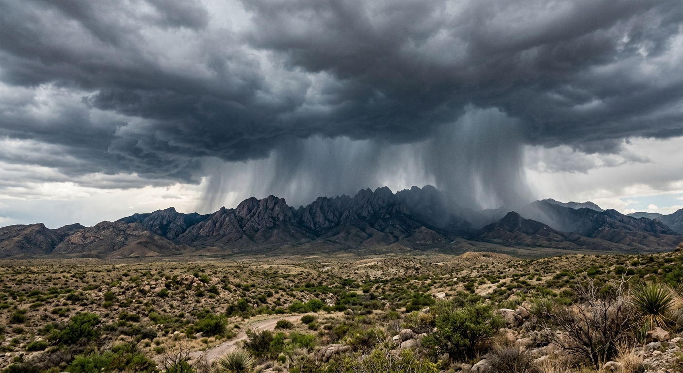
As the week gets underway in the Southwest USA, new mexico rain is subsiding, ushering in a trend of calmer weather and more isolated storms across the region. Area residents and visitors are experiencing a transition from the active storm systems seen earlier, as the bulk of precipitation refocuses on specific locales, notably the mountainous zones and eastern New Mexico.
Afternoon Storms Shift to Highlands and East
This week, meteorologists have identified a reduction in widespread rainfall, with afternoon storms now largely limited to the mountains and the eastern part of the state. The mountain rain has proven persistent, and communities in these higher elevations share a heightened awareness of sudden weather changes. In eastern new mexico, the frequency of isolated downpours has also prompted residents to keep a close eye on evolving forecasts and any advisories issued by local authorities.
Flash Flood Threat Diminishing, but Caution Still Needed
While the flash flood threat has diminished compared to earlier days, caution is still warranted, especially in areas susceptible to rapid runoff. Any slow moving storms that develop in localized pockets retain the potential to unleash local heavy rainfall, which can quickly overwhelm drainage and low-lying roadways despite the overall decreasing rain chances.
Rain Chances Taper Off Heading Into Weekend
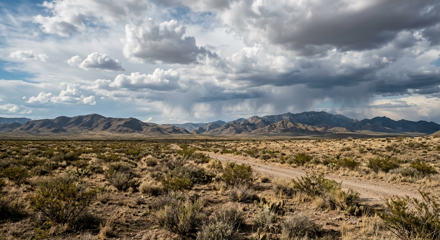
The coming days will see a continued pattern of isolated storms, with the likelihood of precipitation dropping as the week progresses. Weather models project another round of thunderstorms on Saturday, impacting familiar corridors in the mountains and across eastern New Mexico. However, these isolated storms are expected to be more sporadic and less intense overall as the general weather pattern evolves toward drier conditions.
Westerly Breeze and Warming Temperatures
By Sunday, forecasters anticipate a distinct shift as a westerly breeze spreads across New Mexico. This airflow is set to usher in drier air masses, effectively curtailing storm development and boosting statewide temperatures. Daytime highs are projected to rise above seasonal averages, signaling the start of a warmer and more stable period for much of the Southwest USA, including local communities, businesses, and outdoor enthusiasts making weekend plans.
Precautions Remain in Place Despite Improving Conditions
Although this trend toward drier weather brings relief, meteorologists emphasize continued vigilance through the rest of the week. The potential for isolated rain showers and the occasional heavy downpour means that even as rainfall becomes less widespread, isolated hazards persist. Local emergency services and weather agencies recommend that residents remain prepared for short-notice advisories and continue monitoring weather updates, especially in flood-prone or mountainous areas where mountain rain or local heavy rainfall may still occur.
Outlook for the Southwest USA Region
Communities across New Mexico and the broader Southwest USA are expected to benefit from this stabilizing trend after the recent period of active weather. With new mexico rain becoming less frequent and isolated storms presenting only limited impacts, attention turns to recreation and agriculture, both of which rely heavily on predictable patterns. Whether for farming operations or those enjoying the outdoors, the clearer outlook is likely to be welcomed across the region. However, the interplay between elevation, temperature, and residual storm systems means variable conditions may continue to pop up, especially into the weekend.