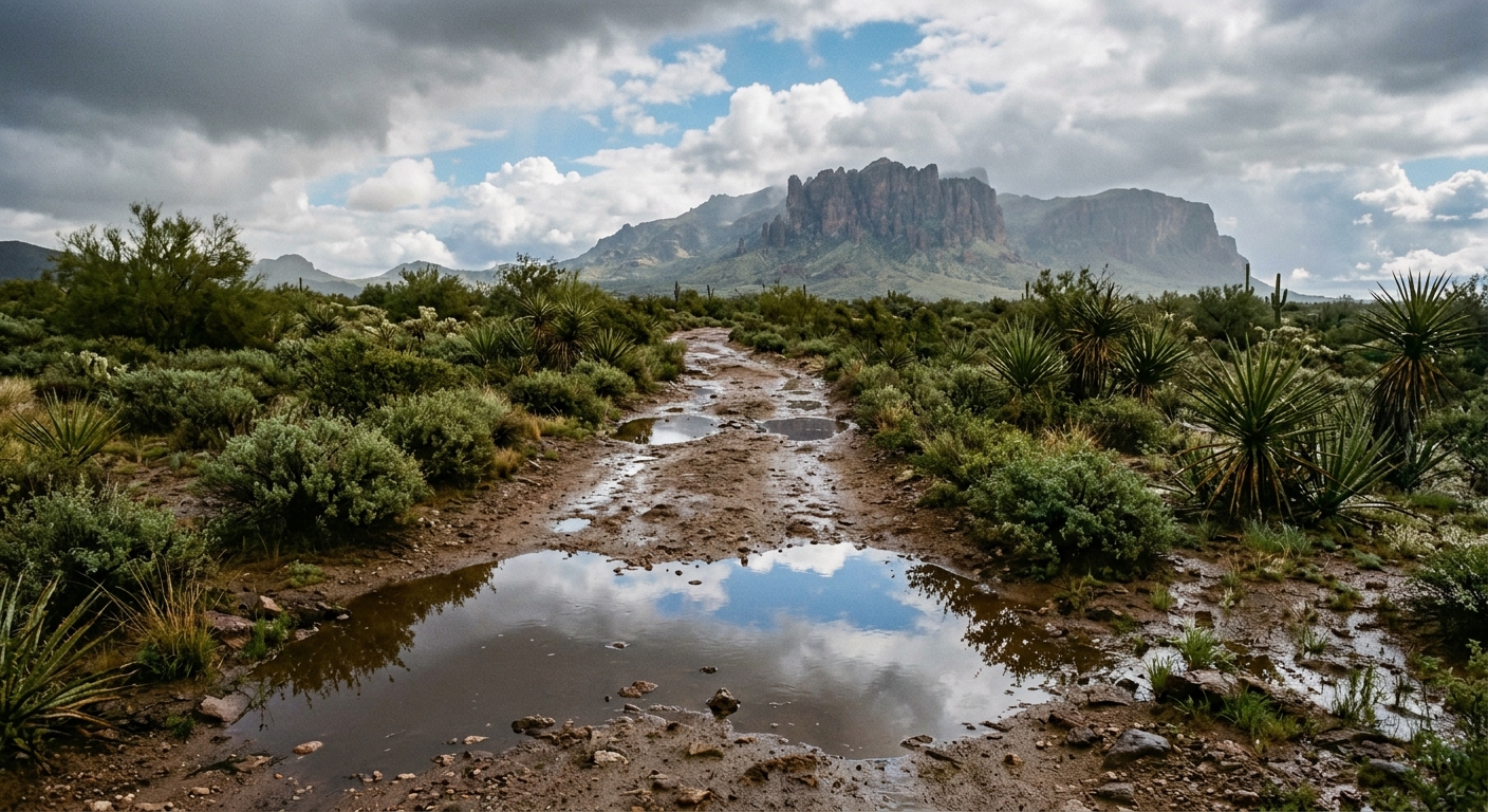
AI-generated illustration; not a photograph of the reported event.
- calendar_today September 19, 2026
The Southwest USA is experiencing dynamic new mexico weather patterns this week, as significant rainfall was recorded across several areas, particularly in Albuquerque. With nearly two inches of precipitation at the city’s Sunport and 0.62 inches added overnight, local residents have witnessed a noticeable increase in rainfall amounts as summer storms moved through the region.
Weekend Forecast: Drier Air Moves In
Although storms persisted Thursday evening, meteorologists predict a shift toward drier air by the weekend. As Friday unfolded, scattered isolated storms remained primarily in McKinley County and sections of Rio Arriba. However, this activity is expected to wane, allowing much of New Mexico and surrounding areas in the Southwest USA to experience milder and more stable conditions through Sunday and Monday. The weekend forecast calls for seasonable to mild temperatures, providing a brief respite from recent showers.
Localized Storm Chances in the East
Despite the broader trend toward dryness, one notable exception arises on Monday. A developing backdoor front is expected to move into eastern New Mexico, introducing additional atmospheric moisture. This front will enhance storm chances in local communities, offering a renewed opportunity for rainfall that could benefit both agriculture and water supply in those eastern counties.
Moisture Surge and Low Pressure Systems Ahead
The break from active weather is forecasted to be brief. Meteorologists anticipate that by midweek, a moisture surge will develop as low-pressure systems interact with upper-level winds pulling in humidity from the south. This evolving weather pattern will lead to an uptick in daily showers and thunderstorms across much of New Mexico. The presence of a low pressure system could create widespread instability, bringing renewed precipitation and increased cloud coverage throughout the state and neighboring regions.
Temperature Trends: Cooler Days Expected
With the return of widespread showers, temperature trends are also expected to respond. Increased cloud coverage in midweek will likely keep temperatures below average for this time of year, offering some relief to residents accustomed to typical summer heat in the Southwest USA. While weekend temperatures will remain largely seasonable, the cooling effect of sustained storms will become apparent in the days that follow.
Community Impacts and Preparation
Local authorities in Albuquerque and throughout New Mexico continue to monitor conditions closely. Residents are encouraged to remain aware of changing forecasts as rainfall and possible thunderstorms may disrupt travel and outdoor activities during the upcoming week. Water managers and agricultural interests are following precipitation updates, as this week’s rainfall amounts have already contributed to improved soil moisture in some areas.
Looking Forward
In summary, new mexico weather across the Southwest USA will offer a short period of drier, milder conditions over the weekend before moisture returns. Communities should prepare for fluctuation between dry spells and renewed precipitation, with a focus on safety when storms redevelop. As the region transitions through these evolving patterns, ongoing vigilance remains essential for staying ahead of shifting forecasts and potential changes in local weather.