- calendar_today July 11, 2026
The weekend forecast for the Southwest USA highlights dynamic and potentially hazardous New Mexico weather, as the region braces for episodes of showers and storms alongside a persistent heat wave. Residents in central and eastern parts of New Mexico, particularly near the central mountain chain, are advised to monitor weather updates and heed local advisories as conditions remain volatile through early next week.
Storm Systems Ignite Weekend Showers and Storms
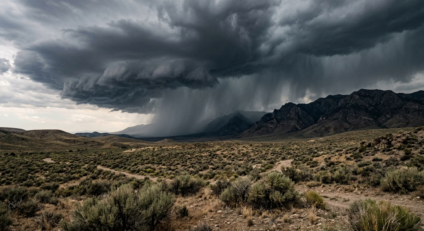
Moisture surging from an outflow boundary has fueled widespread shower and thunderstorm activity across the state. Gusty winds have accompanied these systems, including a recorded peak gust of 49 mph at Albuquerque Sunport, disrupting daily routines in metro areas and prompting local advisories. Santa Fe winds also intensified, raising concerns about possible tree and property damage in exposed neighborhoods.
Flash Flood Watch in Effect for Vulnerable Communities
The National Weather Service has issued a flash flood watch from noon until 6 p.m., covering areas most susceptible to heavy downpours. The Sacramento Mountains and the Ruidoso area are under particular scrutiny, with ruidoso flooding risks heightened due to recent rainfall and saturated soils. Emergency crews remain on alert as localized flash flooding can occur rapidly in these elevated terrains.
Heat Advisory and Seasonable Temperatures Across New Mexico
As thunderstorms bring instability to some parts of the state, other regions contend with a persistent heat advisory. San Juan and McKinley counties in northwestern New Mexico face searing conditions, with daytime highs reaching the upper 90s and lower 100s. Residents experiencing these high temperatures should adhere to safety guidelines by staying hydrated and avoiding strenuous activities during the peak heat of the afternoon. Nighttime lows have hovered at seasonable temperatures, ranging from the 50s in higher elevations to the 70s in the valleys.
Monsoon High Shifts Weather Patterns
Meteorologists confirm that the monsoon high, a dominant pressure system influencing summer storm activity in the Southwest USA, is shifting northward. This movement briefly brings hotter conditions to the northern United States while ensuring daily thunderstorm chances persist in southern and western New Mexico. The ongoing influx of moisture maintains the risk of strong to severe storms, capable of producing heavy rainfall and gusty winds in affected communities.
Central Mountain Chain and Storm Hazards
The central mountain chain remains a focal point for both severe thunderstorms and sustained wind events. These geographical features, including the Sacramento Mountains, trap and enhance atmospheric instability, making them hotspots for quick-developing showers and storms. Local emergency managers across New Mexico are working closely with meteorologists to keep residents informed of changing conditions, especially as flash flooding and strong winds threaten populated areas.
Looking Ahead: Gradual Relief and Continued Precautions
Forecast models suggest the current weather pattern will hold into early next week, although a gradual cooldown toward the low 90s is expected. Officials urge New Mexico residents and visitors throughout the Southwest USA to continue exercising caution, especially in flood-prone or heat-impacted counties. With the combination of daily thunderstorm chances, ongoing heat risks, and potential for showers and storms affecting travel and outdoor plans, staying informed is essential. As always, local emergency services recommend regular checks of weather alerts and preparedness for sudden changes as the region continues to navigate the challenges of monsoon-driven new mexico weather.